Increased Efficiency
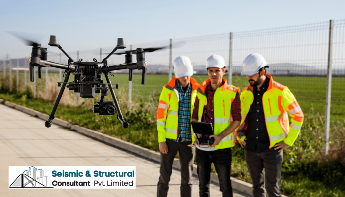
Drone surveying has greatly improved the efficiency of bridge construction projects. Drones equipped with high-resolution cameras and LiDAR sensors can quickly capture detailed aerial images and collect accurate data about the terrain, existing structures, and surrounding environment. This data can be processed in real-time, allowing engineers and project managers to make timely decisions and adjustments. The speed and efficiency of drone surveying significantly reduce the time required for data collection and analysis, enabling faster project completion and cost savings.
Enhanced Accuracy
Precision is crucial in bridge construction, and drone surveying offers unparalleled accuracy compared to traditional surveying methods. The advanced sensors and GPS technology integrated into drones enable precise measurements and mapping, eliminating the potential for human error. The detailed aerial imagery and 3D models generated by drones provide engineers with comprehensive and accurate data, facilitating better design and construction planning. The high level of accuracy achieved through drone surveying ensures that bridges are built to exact specifications, minimizing the risk of structural issues and ensuring the safety of the public.
Improved Safety
Safety is a top priority in any construction project, and drone surveying significantly enhances safety measures. Traditionally, surveying involved manual measurements taken by surveyors who had to navigate challenging terrain and potentially hazardous environments. With drone surveying, there is no need for surveyors to physically access these areas, reducing the risk of accidents and injuries. Drones can access remote or hard-to-reach locations, capturing data without endangering human lives. Additionally, drones can be equipped with thermal imaging cameras to detect potential structural issues or weaknesses, enabling early intervention and preventing catastrophic failures.
Real-Life Examples
SSCPL has successfully utilized drone surveying in various bridge construction projects, delivering exceptional results. In a recent project, SSCPL employed drones to survey a large-scale bridge construction site, covering a vast area with accuracy and efficiency. The drone’s aerial imagery and data provided valuable insights into the site’s topography, enabling engineers to optimize the bridge’s design and alignment. By using drones, SSCPL was able to reduce surveying time by 50%, leading to significant cost savings and accelerated project timelines.
Future Potential
The future of drone technology in bridge construction is promising, and SSCPL is at the forefront of adopting innovative solutions. As drones continue to evolve, their capabilities will expand, offering even more advanced sensors and data collection techniques. SSCPL recognizes the potential of drone technology in improving project outcomes and is continually investing in research and development to stay ahead of the curve. By embracing these technological advancements, SSCPL is ensuring that its clients receive the highest level of service and benefit from the latest industry innovations.
In conclusion, drone surveying has revolutionized the field of bridge construction, and SSCPL has harnessed this technology to deliver exceptional results. The increased efficiency, enhanced accuracy, and improved safety offered by drone surveying have transformed the way bridge construction projects are planned and executed. SSCPL’s expertise in utilizing drones for surveying showcases their commitment to innovation and excellence. As the future of drone technology continues to unfold, SSCPL remains at the forefront of the industry, continually pushing boundaries to provide the best solutions for their clients.

